A Coastline That Never Stayed Put
The Texas Gulf Coast region, including the land around present-day Katy, has never been a static place. Its geological history is one of constant transformation, shifting shorelines, rising and falling sea levels, and sediment deposited by ancient rivers over millions of years. Long before Katy was farmland, and long before it was a fast-growing suburban community, this stretch of Texas was shaped by forces operating on a timescale almost impossible to picture.
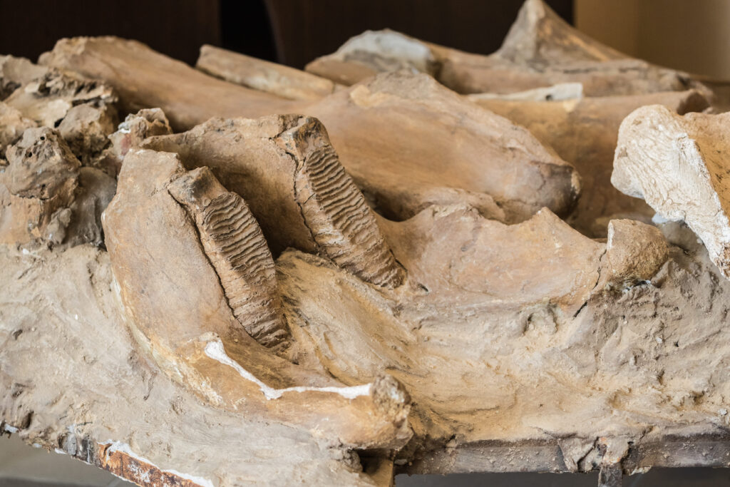
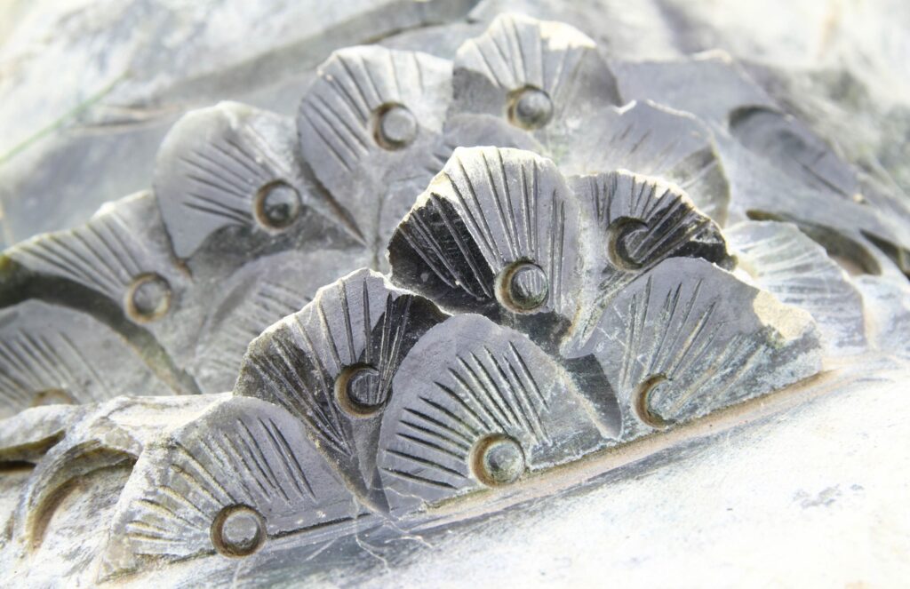
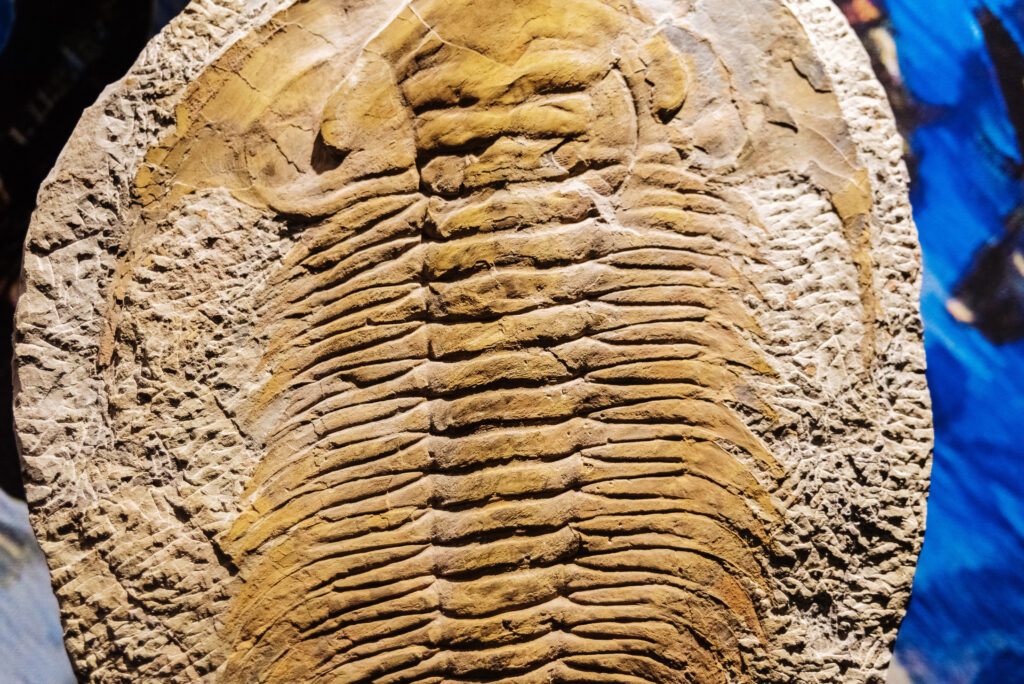
During the Pleistocene and earlier epochs, sea levels along the Gulf Coast rose and fell dramatically in response to glacial cycles far to the north. As glaciers expanded, sea levels dropped and exposed land that is now underwater; as they melted, the Gulf pushed inland again. The Katy area sits within this dynamic coastal plain, built from layers of sand, silt, and clay deposited by ancient river systems and shifting shorelines over hundreds of thousands of years. Fossil evidence from the broader Gulf Coastal Plain, marine shells, ancient mollusks, and traces of Ice Age megafauna found elsewhere in the region, reflects just how different this landscape has looked across different chapters of its history.
This is a landscape defined by change. What was seafloor became coastal plain; what was coastal plain became grassland; what was grassland eventually became farmland and, later, a rapidly developing part of the greater Houston metro area.
Sediment, Soil, and the Shape of a Region
The soils found around Katy today, largely a product of ancient deltaic and coastal deposition, reflect this long depositional history. Fine-grained sediments carried by rivers draining into the Gulf built up the flat, low-lying terrain that now defines much of the region. Every layer beneath the surface represents a different chapter: a different sea level, a different climate, a different set of environmental conditions than the ones we experience today.
Geologically speaking, the transformation from prehistoric coastline to modern suburb isn’t really a break in the story, it’s simply the most recent chapter of a much longer one. Change has always been the defining feature of this land.
The Latest Chapter: A Landscape Built for Motion
If the region’s deep past was defined by shifting shorelines and migrating sediment, its present is defined by a different kind of movement, people, infrastructure, and technology, all expanding rapidly across the same ground. Katy has grown from a small agricultural community into one of the fastest-developing suburbs in the Houston area, and that growth has brought entirely new layers to the landscape: subdivisions, transportation corridors, and modern infrastructure supporting a rapidly increasing population.
Among the newest additions to that infrastructure is the install of EV chargers in Katy, part of a broader shift in how the region’s transportation network is evolving to meet growing demand. It’s a small detail in the context of hundreds of thousands of years of geological change, but it fits a pattern that’s been playing out on this land since long before recorded history: the landscape adapts to whatever the moment requires, whether that’s an ancient shoreline responding to sea-level change or a modern community responding to new technology.
A Landscape Still in Motion
The ground beneath Katy has been an ocean floor, a shifting coastal plain, farmland, and now a rapidly growing suburban community equipped with modern infrastructure, including the electric vehicle chargers now appearing throughout the area. None of these chapters erased the ones before it; they simply built on top of them, the same way sediment once built up layer by layer along an ancient coastline. The Texas landscape has always been a work in progress, and if the last few hundred million years are any indication, it isn’t finished changing yet.